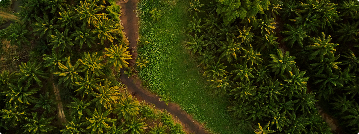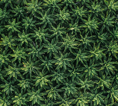
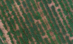
Oil Palm
Palm oil nowadays takes an important role in the production of everyday necessities.
Crop growth monitoring used to be a manually intensive task and took long time period to address the manually spotted issues. It will be hard to have a real-time monitoring and in-time update on soil characteristics, crop health, and volume estimation. Lack of those key information on crop biophysical factors tends to cause inefficient irrigation scheduling, untargeted fertilizer application rates, and pest infestation, as well as overuse of resource with large waste production.


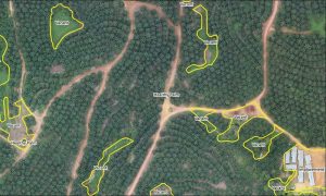
Classification for planted-area (e.g. Health palm, vacant area) and unplanted area (i.e. pond, emplacement, road)
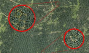
Identify the key crop area and validate the crop health, map footprints of crop damage.
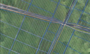
Address irrigation variability and pinpoint erosion-prone areas.
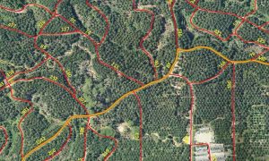
Evaluate roads to support operational activity in a plantation (e.g. harvesting and maintenance)
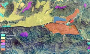
Evaluate landuse changing especially to keep HCV area.
Tree size monitoring based on canopy size.
By using captured aerial images and AI analytics, can help predict the yield and better allocate manufacturer resources for crops processing.
[Cassava Yield Prediction Using Aerial images]