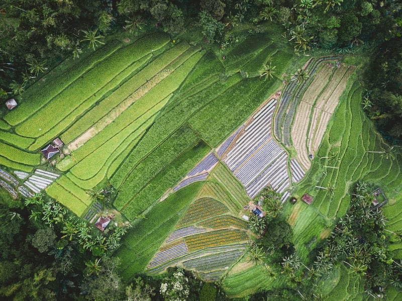
Anavision - Plantations and Agriculture
Featured Solutions
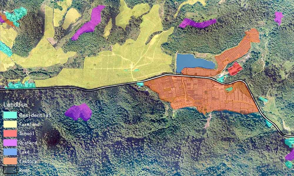
- Land cover classification and landuse analysis
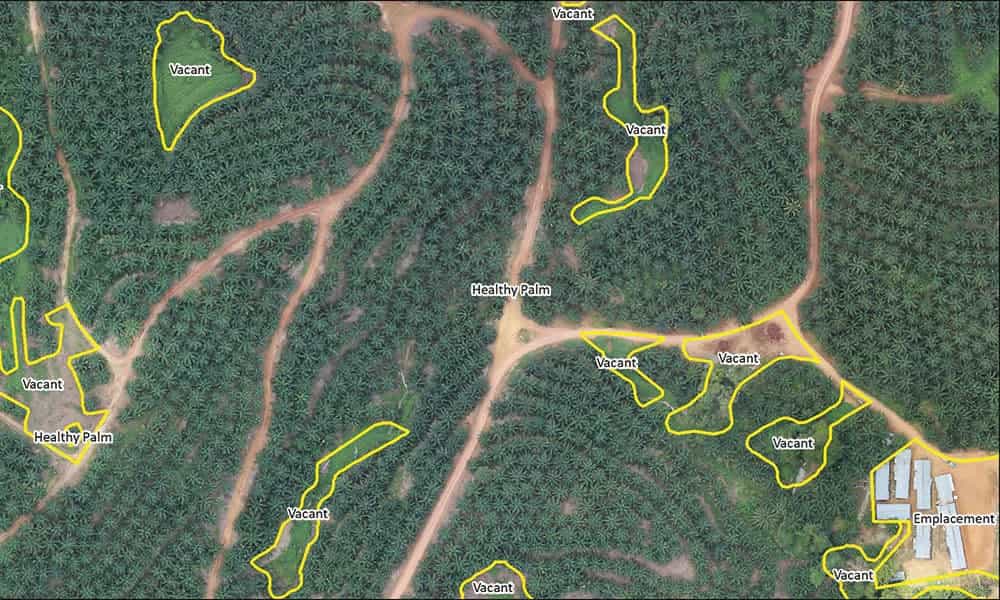
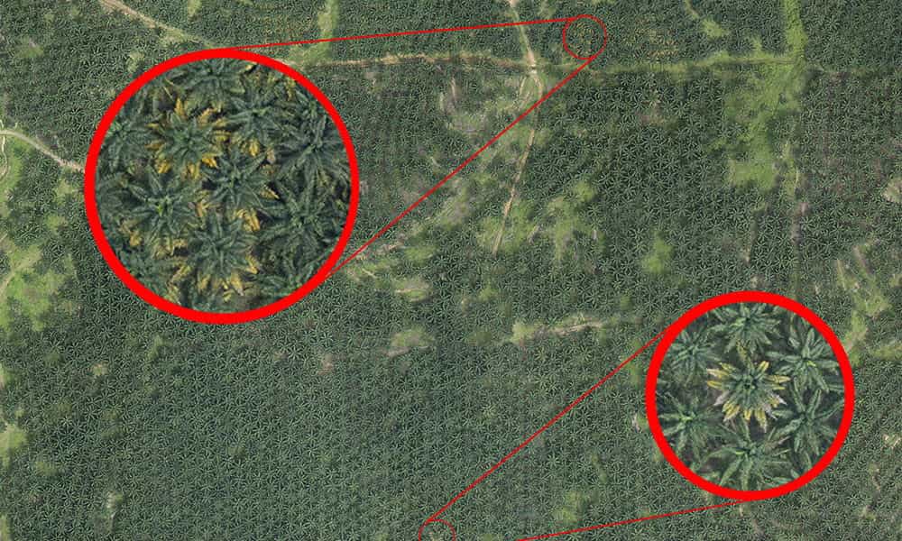
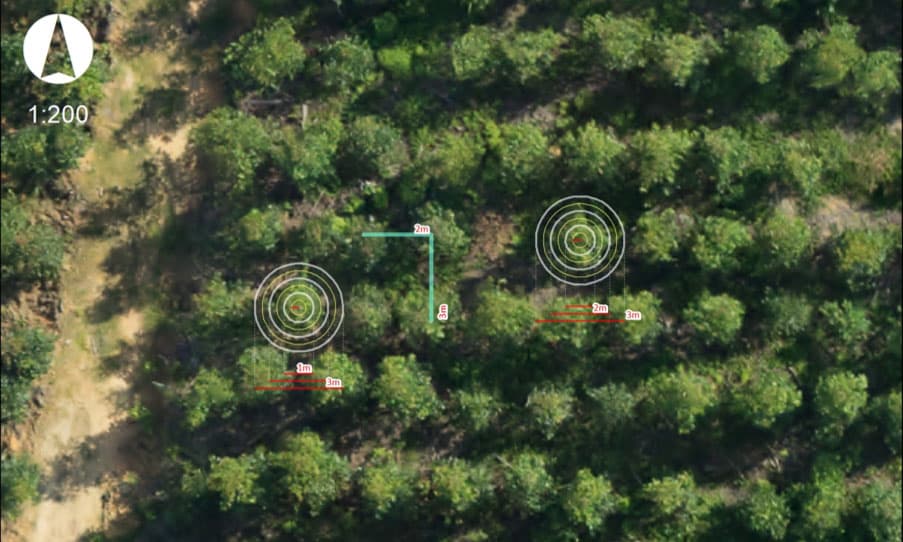
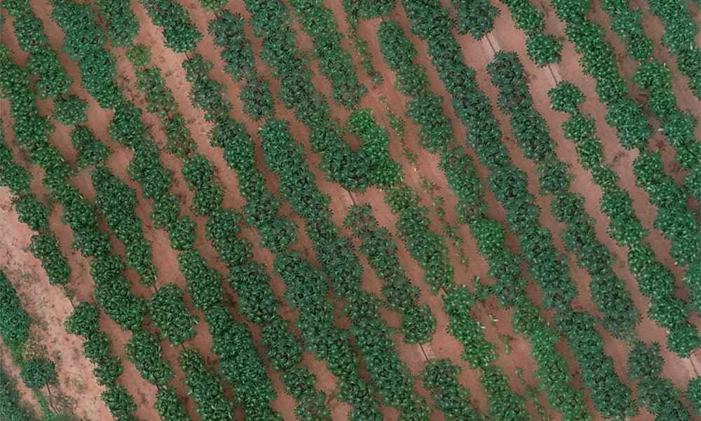
- Crop inspection (e.g. Tree counts, tree heights, tree spacing, tree health)
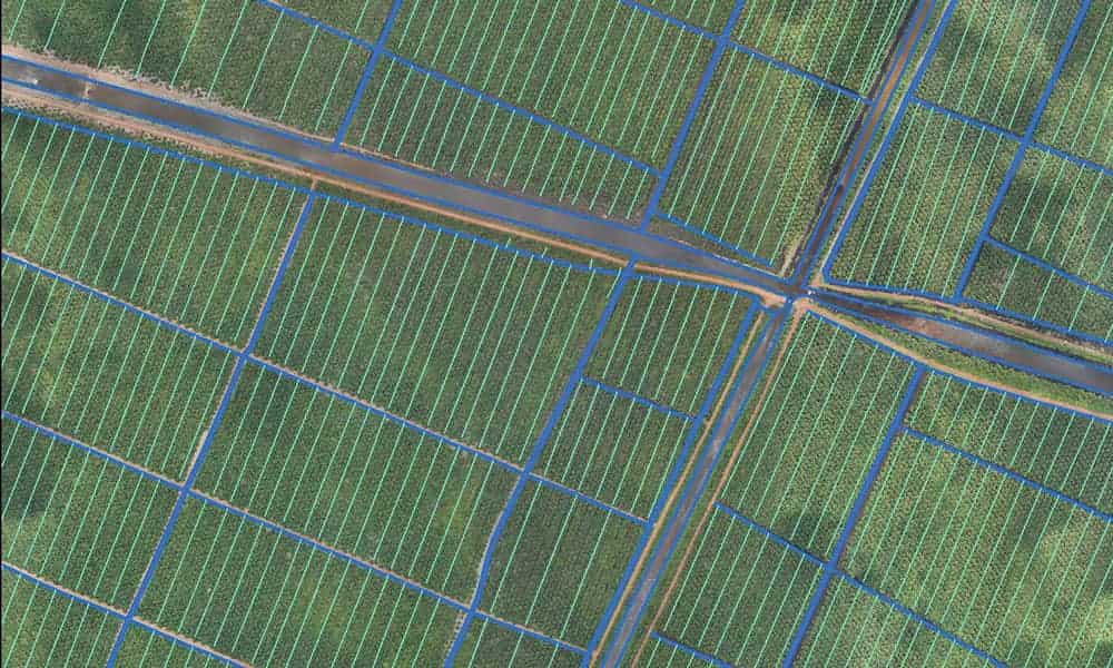
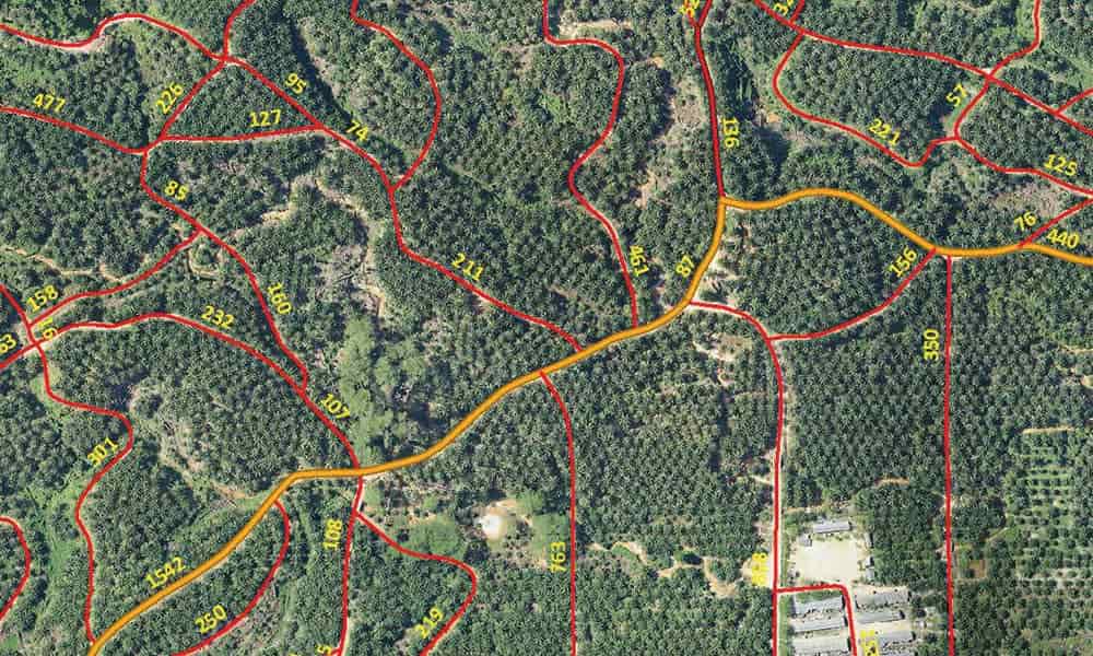
- Boundary verification
- Weed coverage analysis
- Irrigation analysis
- Flooded area distribution
- Contour and slope analysis
- Plantation roads planning & evaluation
- Land feasibility/Due diligence
- HCV monitoring