Aerial Intelligence for Precision Agriculture

Maximize yields with aerial imaging

WHAT YOU NEED

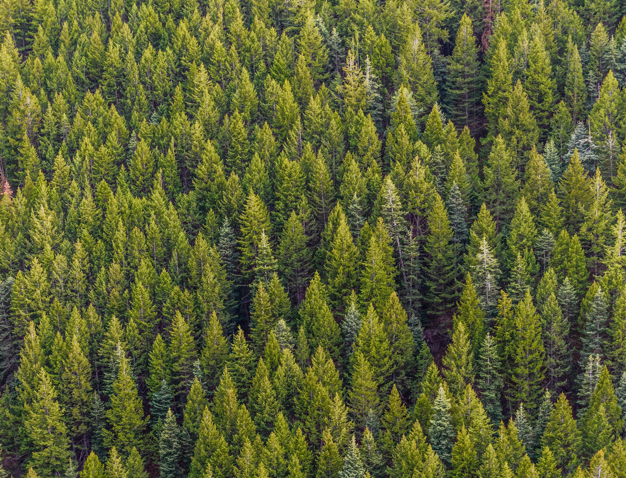
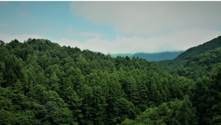
Forestry industry plays a key role as a resource for log and wood.  Absence of information on the plantation caused by irregular shape of trees with leaves overlapping each other will add diffculty to manage effectively and may result in continous land development as a waste of resource. Large land coverage makes health condition monitoring and early infestation outbreaks signal less likely. A high cost and time with limited scope and accuracy for inventory calcuations speak to a need to generate new solutions for management.

Forestry&Agriculture forestry section 2
Plantations and Agriculture

Anavision - Plantations and Agriculture

Featured Solutions

Accurate assessment icon

Rapid & accurate assessment

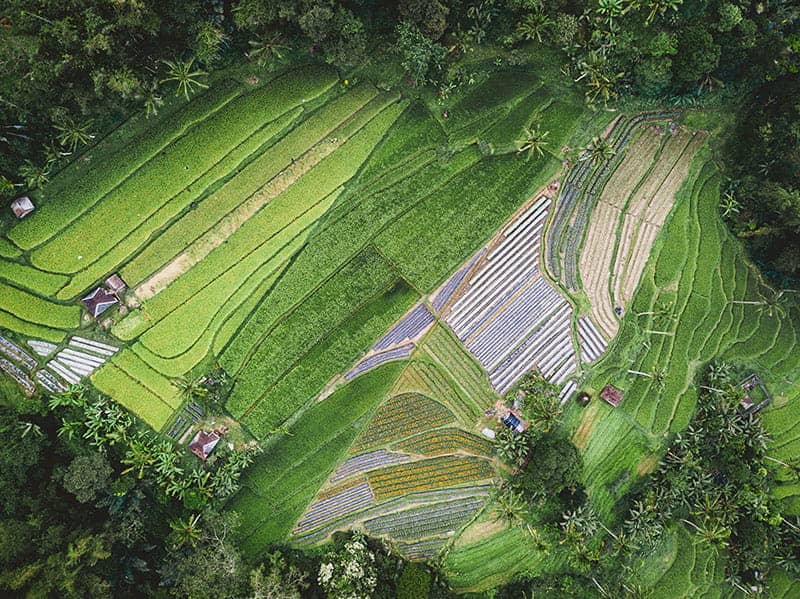
Identify issues faster by scouting with timely and high-resolution maps for precise plantations and agriculture.

Actionable information icon

Actionable information

Convert drone images into precise and actionable maps for better decision, which in turns to minimize crop loss and boost yield.

Workflow icon

Optimized workflow

Streamline the workflows and enhance operational efficiency by digitizing the field, leading to precision agriculture.

Highlighted Applications

Forestry&Agriculture Screenshot 2024 04 12 104405

Forestry Management

Timely intervention to large forestry coverage and monitor plantation health

Interested in learning more about our services and solutions?