Aerial Intelligence for
Precision Agriculture

Maximize yields with aerial imaging

WHAT YOU NEED

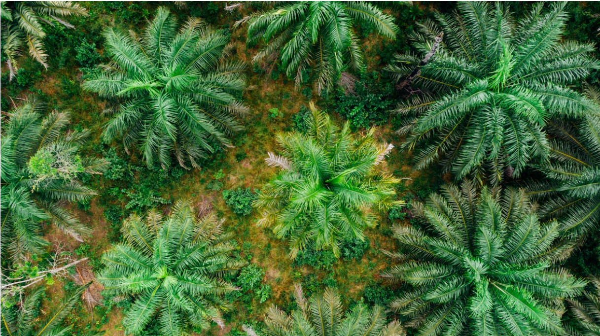
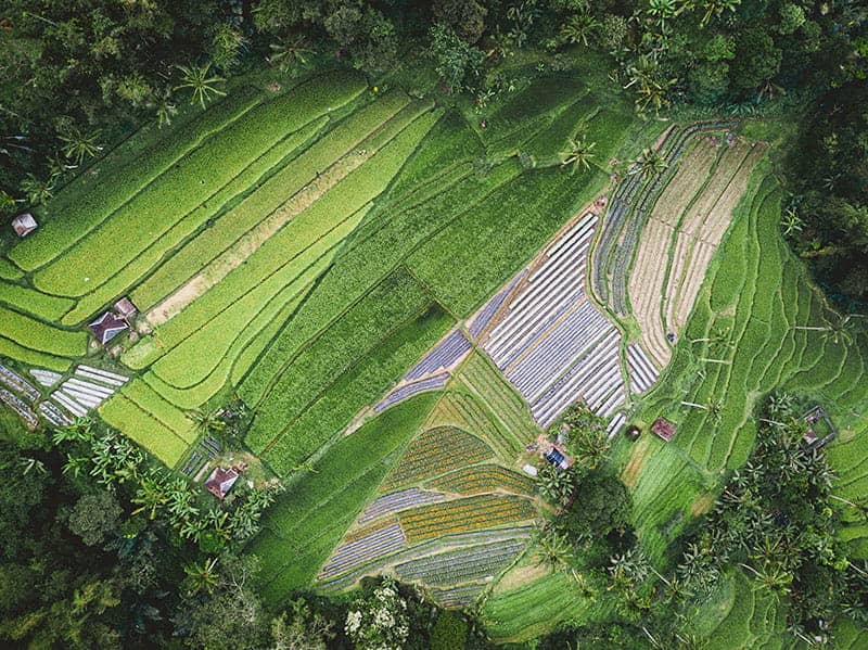
Palm oil nowadays takes an important role in the production of everyday necessities. Lack of information on the land use and oil palm health condition result in a continuous expansion of natural land resources for plantations and put forests and wildlife habitants in danger. The field coverage is pretty limited and difficult to have a concise result for manual labor (both in the field and count in aerial photos) given the large land coverage. Outdoor environment with less stable conntection to Internet challenges the current way of plantation management.

Oil Palm&Agriculture oil palm
Plantations and Agriculture

Anavision - Plantations and Agriculture

Featured Solutions

Accurate assessment icon

Rapid & accurate assessment

Identify issues faster by scouting with timely and high-resolution maps for precise plantations and agriculture.

Actionable information icon

Actionable information

Convert drone images into precise and actionable maps for better decision, which in turns to minimize crop loss and boost yield.

Workflow icon

Optimized workflow

Streamline the workflows and enhance operational efficiency by digitizing the field, leading to precision agriculture.

Highlighted Applications

Oil Palm&Agriculture web op

Oil Palm Management

Optimize inventory control and refine overall practices of oil palm plantation management

Interested in learning more about our services and solutions?