Anavision - Marine Parks
Featured Solutions
- Detection of illegal activities and vessel's registration number
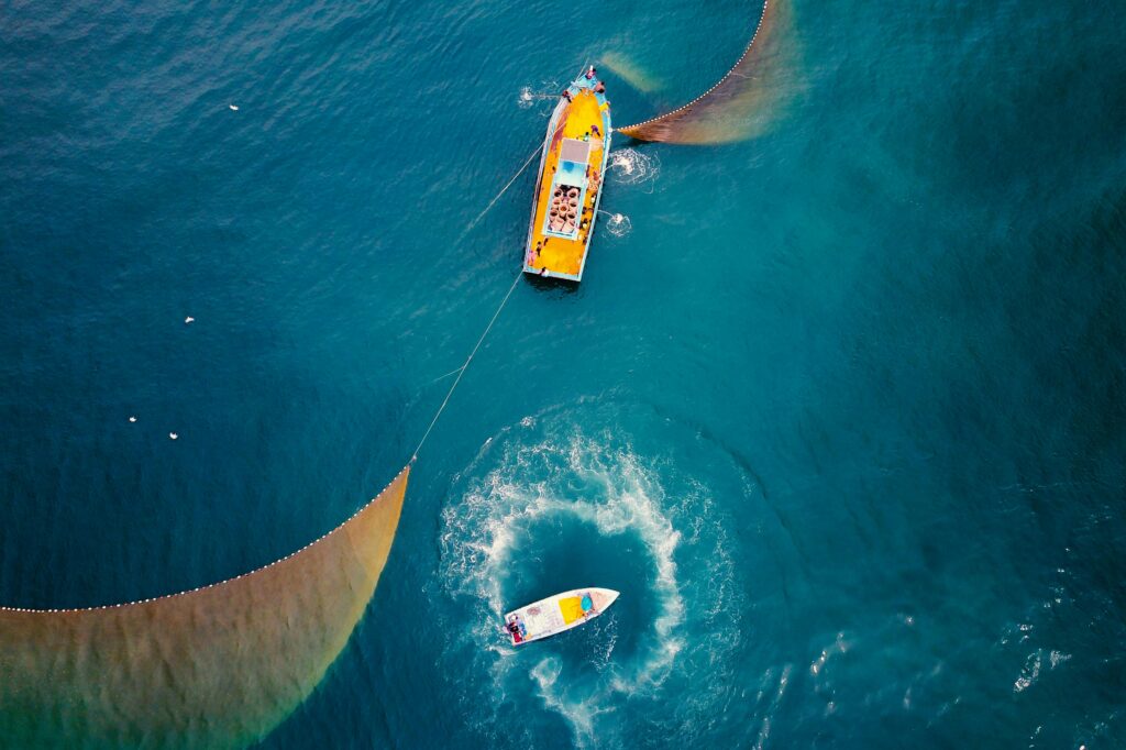
- Monitoring of illegal recreation fishing or fishermen's activity
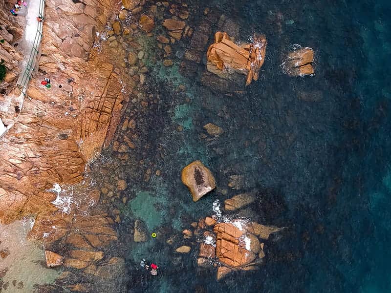
- Monitoring of visitor's activity
- Monitoring and locating of coastal marine refuse
- Monitoring of facilities
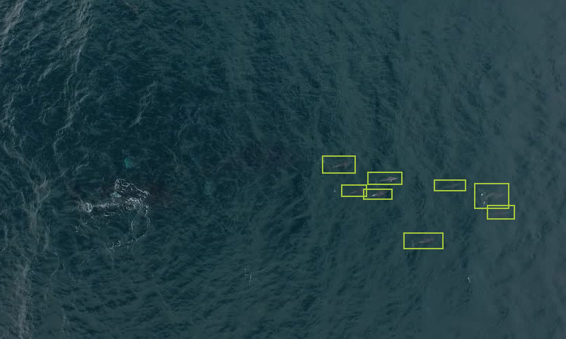
- Detection of dolphins