Drone Solution for River and Lake
User aerial imagery for maintaining water availability and quality.
WHAT YOU NEED
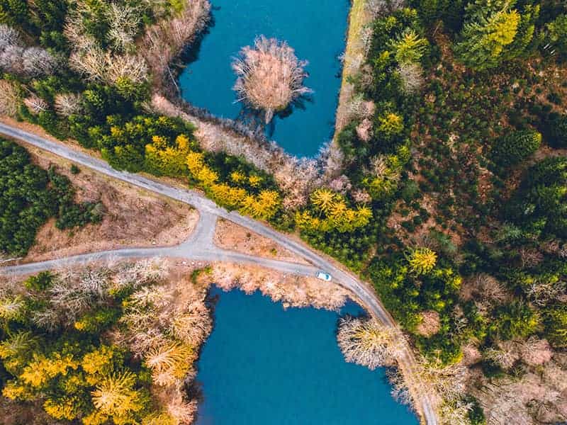
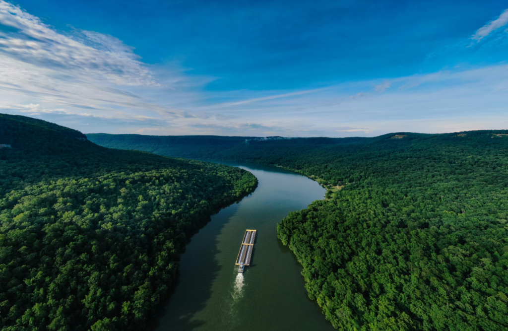
Detect pollution, sludge, some other deposits that can obstruct and impede the natural flow of water. To prevent the blockage erode riverbanks and nearby land, potentially causing landslides and further damage to the ecosystem, real-time monitoring of the riverway evolvement and stream can make sure of the smooth water flow and reduce potential dangers for public safety.

Timely assessment
Discover and identify the issue/defect through drone inspection.

Quality pictures
Capture high resolution images with drone. HD pictures for complete understanding.

Save time. Keep safe
Inspections can be completed in a fraction of the time. Overhead photographic insight into hard-to-inspect areas.
Highlighted Applications
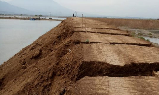
water management
Decide the dike and watergate planning based on landscape aerial imagery.
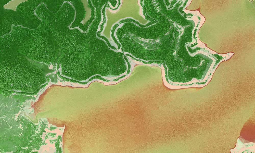
Multispectral image analytics
Remote sensing of water population level and decomposition of major population index.