
Anavision - City and Landscape Survey
Featured Solutions
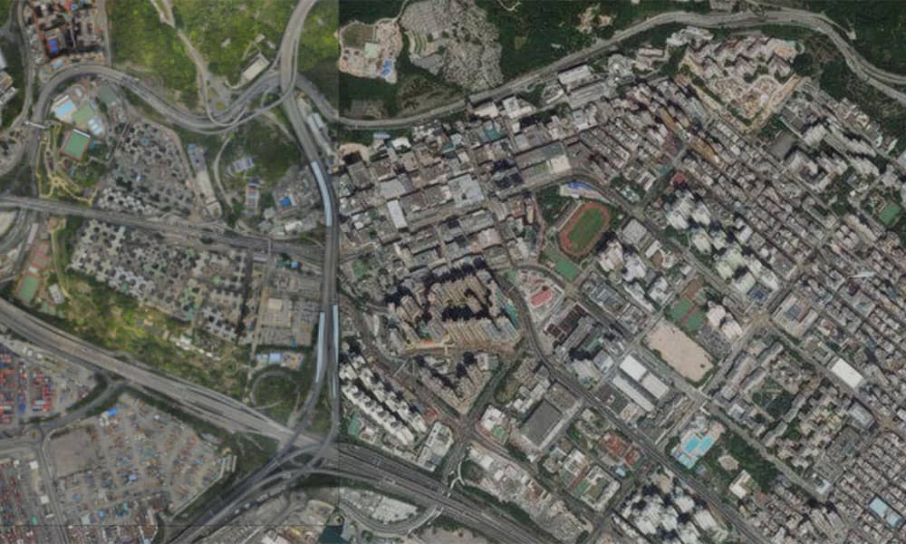
- Large scale aerial survey
- Asset counting (e.g. trees, cars, buildings)
- 2D/3D reconstruction
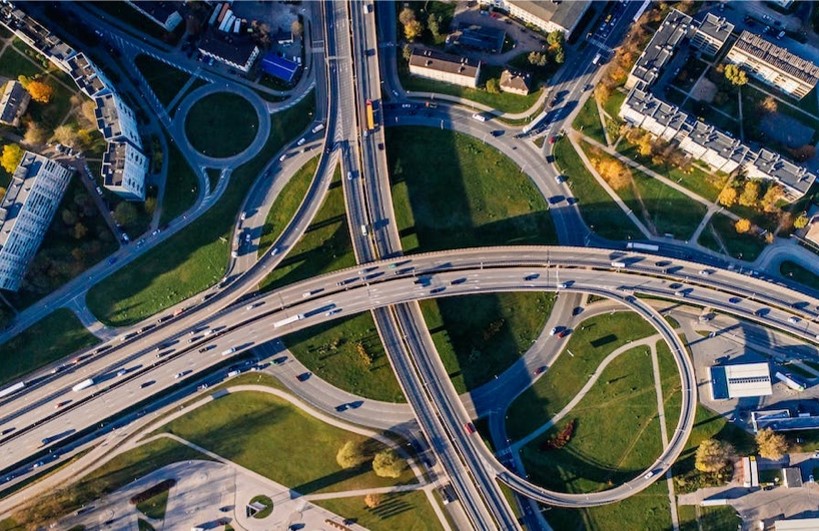
Given the dynamic environment of traffic road, it will be hard to have a efficient assest management, such as the total number of cars driving on road, trees and buildings number exposed in certain area, illegal building or parking monitoring. Management of assests and accessibility analysis will be limited for a better land use and city resource distribution.

Boost the survey efficiency and reduce operational risks using drone mapping. Save costs by spending less time on site.

Improve result accuracy with professional drone-based mapping and quality report.

Mitigate operational risks that lead to extra use of resource
Easily and safely capture high-resolution aerial view of a large area in a fraction of time.
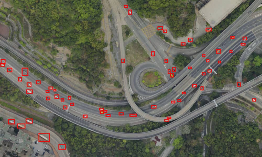
Quickly create maps with aerial imagery. Trained AI model for cars counting.
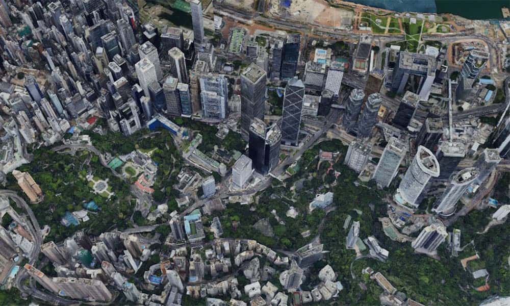
Process images into 3D model for detail analysis. Share with others and put insights into action.