Anavision - Coastal Monitoring
Featured Solutions
- High-resolution visible and thermal drone mapping
- 3D modelling
- 24 hours coastal monitoring
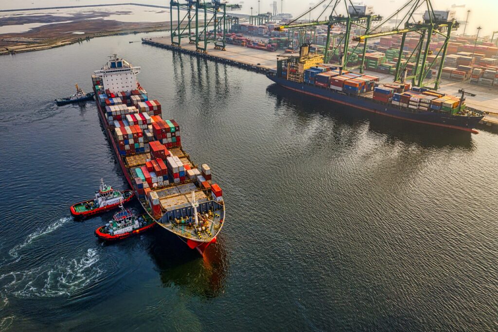
- Inspect vessel activities
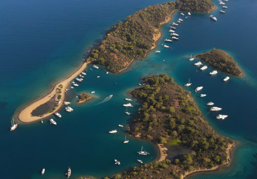
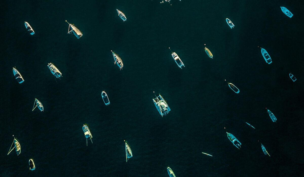
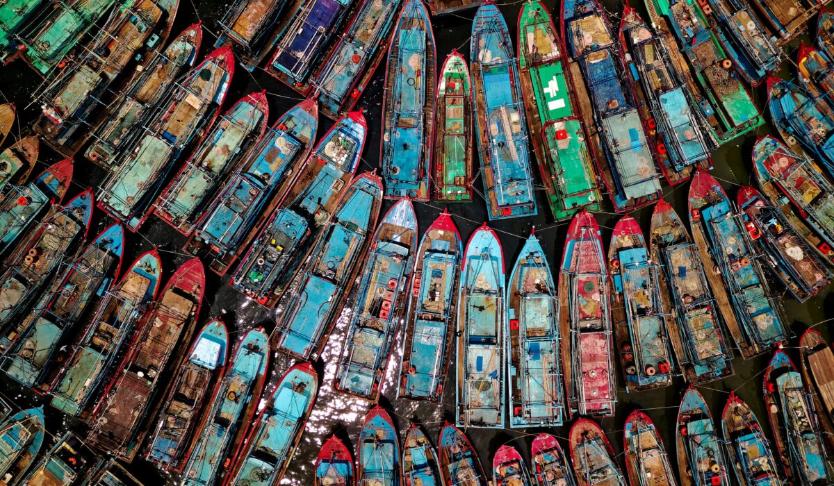
There are always difficulties to monitor vessels in the coastal area all day and night to improve accessibility and safety condition. Given the dynamic coastal environment, the difficulty of identifying the vessel location, measuring speed of vessel and acquiring information about vessel height to optimize the accessibility become concerns sometime.
Generate high-resolution drone mapping and 3D models for detail measurement and analysis

24-hour monitor boat location, identify speed of boat, automatically measure vessel height to enhance maritime security and accessibility

Data capture is faster and easier. Can share with stakeholders anytime and anywhere for better communication and collaboration
Geolocate vessels on certain areas to better manage maritime traffic and prevent illegal activities.
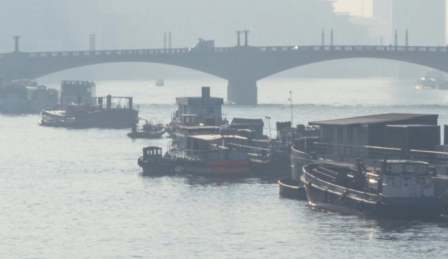
Real-time monitoring of vessel height to prevent any potential risks of collision.
Quickly capture imagery and generate maps for accurate measurement by data-driven insights.