UAV Aerial Survey and Digital Mapping
For improving yield performance of oil palm plantation
Country: Indonesia
Client: BIA (PT. Bio Inti Agrindo)
Date: February - April 2018
Services / Solutions: UAV Aerial Survey and Digital Mapping
Problems / Requirements of client:
BIA manages oil palm plantations throughout Indonesia and is one of the major crude palm oil producers in the world. Overall yield performance of BIA’s oil palm plantation estate in 2018 was slightly below satisfactory performance. BIA would like to evaluate the plantation, to understand the problem and plan the follow up action. The faster way to evaluate the field is using Aerial Survey technology.
Services / Solutions:
Anavision was invited to perform UAV aerial survey and digital mapping for the BIA’s oil palm plantations (over 5,000ha) to identify issues and propose recommendations for improving yield performance.
Services include:
- Land use classification
- Tree counting
- Tree health inspection
- Irrigation analysis
- Plantation roads planning & evaluation
- Yield analysis
Results and Key achievements:

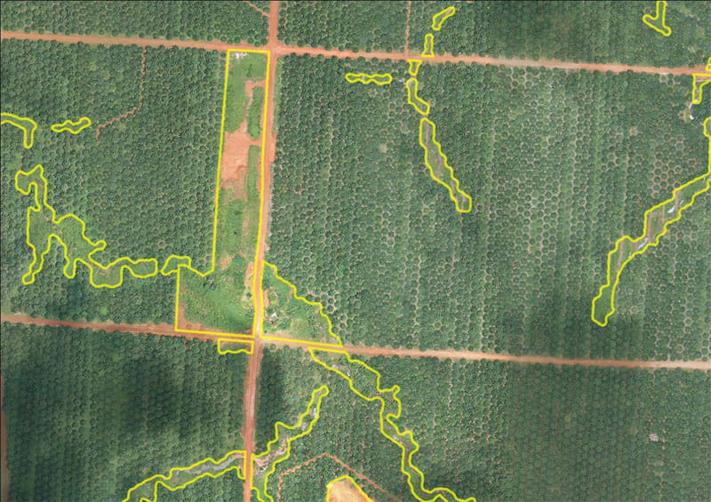
It was found that yield performance of some blocks did not perform well due to that area was not fully planted with trees. It is recommended to plant new trees in those vacant areas.
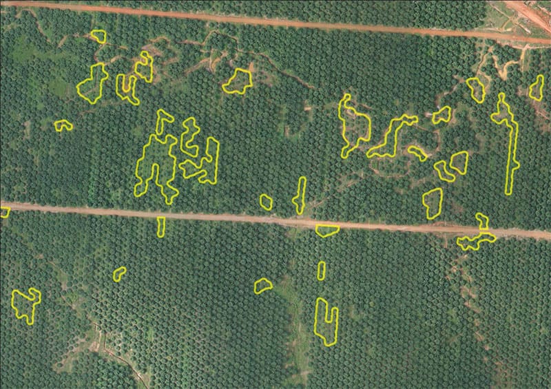
The trees in highlighted regions didn’t grow healthily (stunted). Fertilizer treatment is recommended.


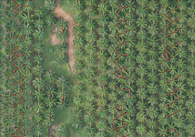
Some trees were planted too close to each other that will create competition of nutrients, including sunlight and water, which in turns will lower the productivity – maintenance cost for two trees but the production output may less than one tree. Tree trimming is recommended those affected trees.
Get Intelligent Survey Today
Explore how our AI-based intelligent survey services empower you and your team

