Featured Solution
Smart
Fast Aerial Image Processing
The growing adoption of drones and aerial surveying technologies has significantly increased the volume of geospatial data collected across industries such as agriculture, mining, infrastructure, construction, and environmental monitoring. However, transforming thousands of aerial images into accurate and actionable mapping products often requires complex workflows, extensive processing time, and specialized technical expertise, creating challenges in project efficiency and decision-making.
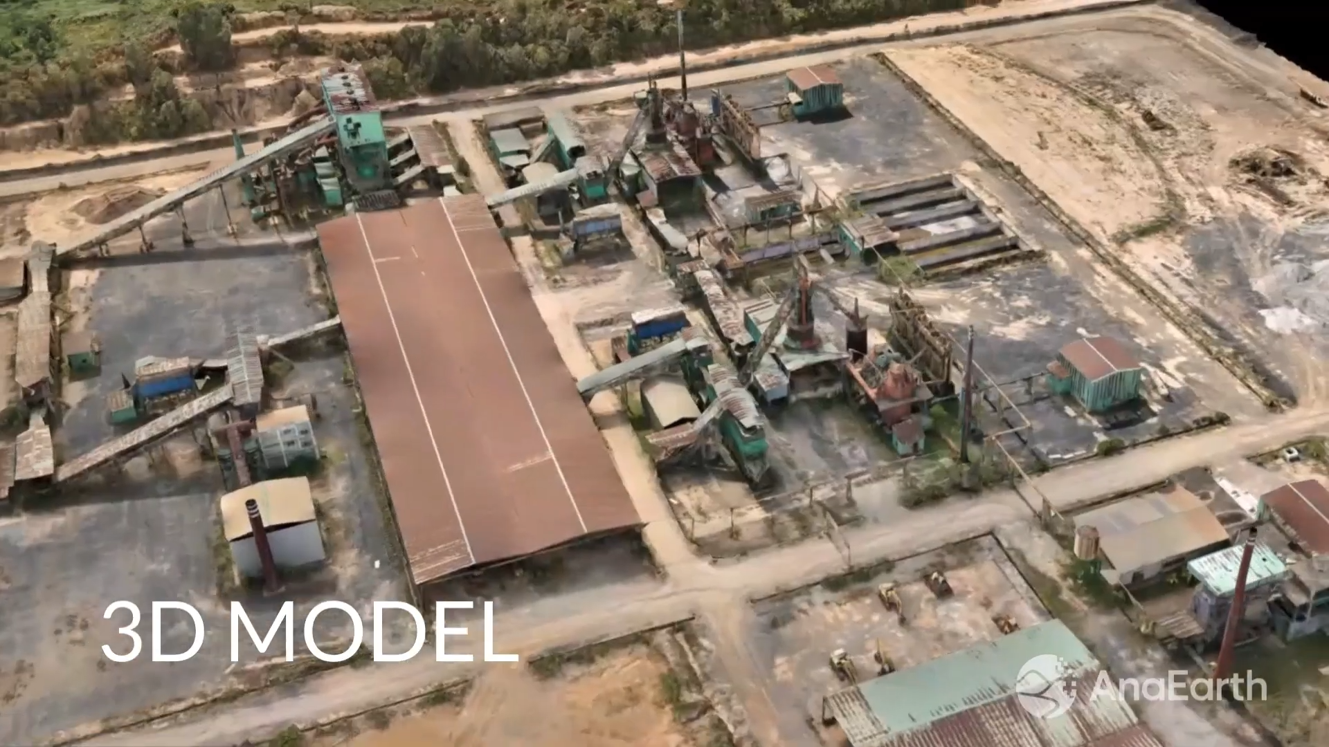
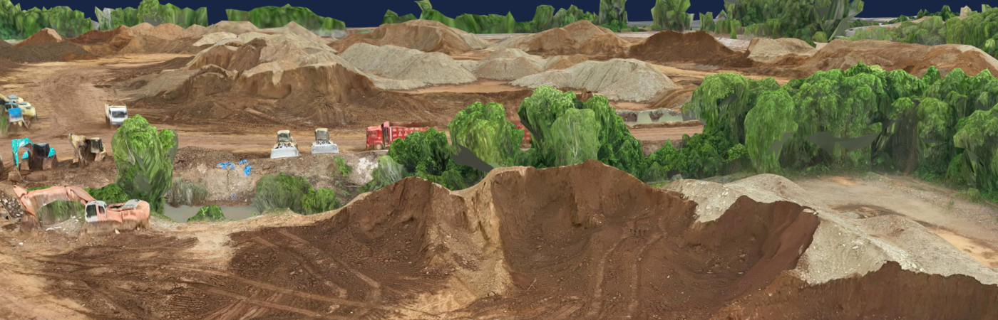
Fast Aerial Image Processing Platform provides a powerful solution to accelerate the conversion of aerial imagery into high-quality geospatial outputs. By leveraging advanced photogrammetry algorithms, intelligent spatial processing, and AI-enhanced reconstruction technologies, Fast Aerial Image Processing Platform enables organizations to rapidly generate orthomosaics, terrain models, point clouds, and 3D models with exceptional accuracy and efficiency. The platform empowers users to process, analyze, and visualize large-scale aerial datasets faster, enabling timely insights, improved operational planning, and more informed decisions across a wide range of geospatial applications.
Our Solution