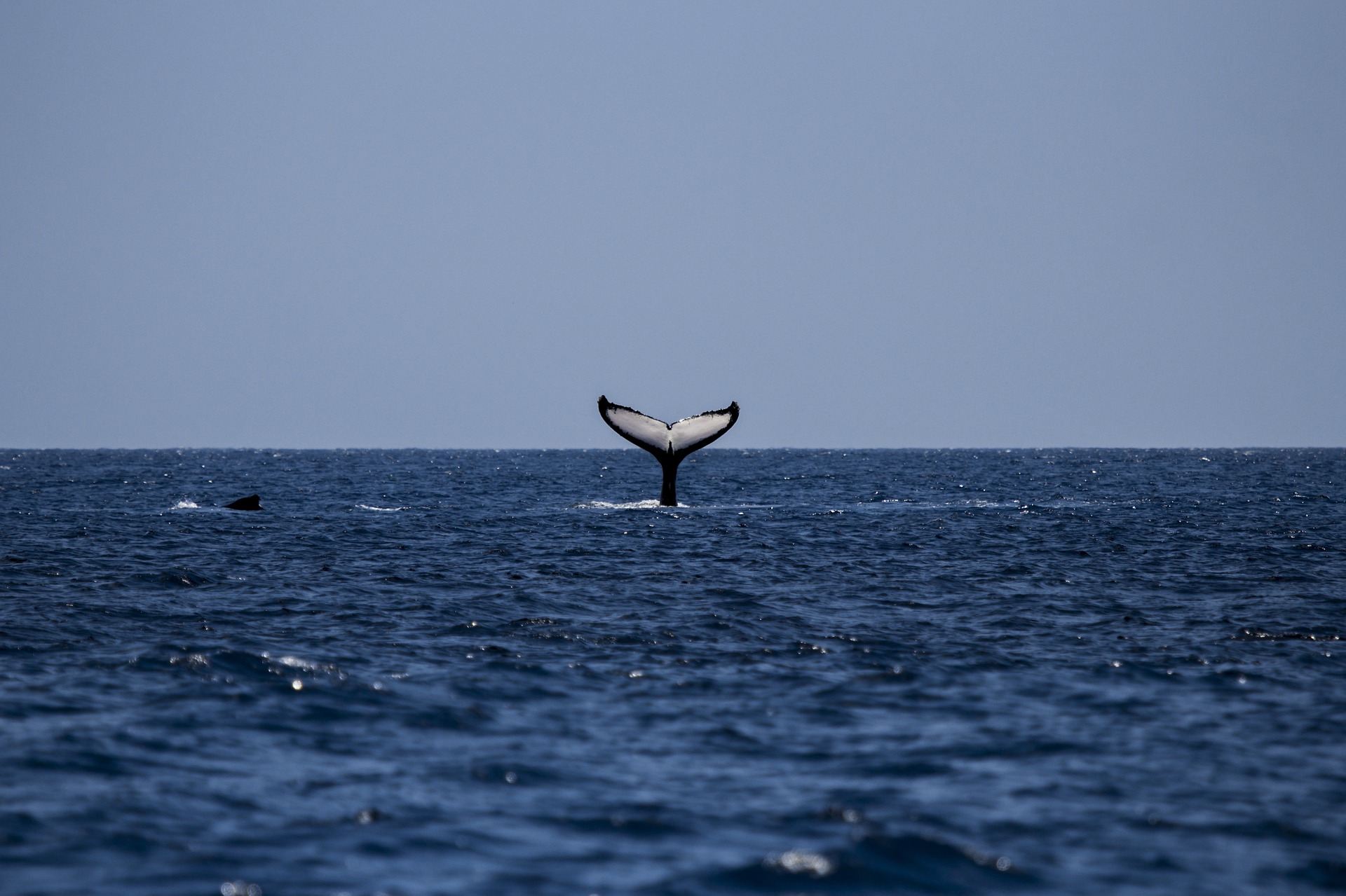
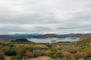
Quantifying the abundance of marine mammals, and locating them, such as stranded dolphins and whales along the shoreline are essential for studying their behaviours, better marine management and conservation. Traditional boat-based investigation relies on researchers’ expertise to identify species, and recognize individual or group behaviours at the ocean’s surface. However, it is a time-consuming and inefficient way due to limited areas for conducting such an investigation.
Improving Marine Mammals Monitoring Using Aerial Surveys
Unmanned Aerial Vehicles (UAV) and Imaging technologies for environmental monitoring are being increasingly recognized as they can ensure operation safety, reduce cost, increase the accuracy of the data, and allow surveys to be conducted in inaccessible areas remotely. Aerial survey is conducted using unmanned aircraft with customized thermal and visual sensors’ payload that enables researchers to capture data in high-speed and high-resolution. With advanced image stitching tools and geo-referencing software, collected images can be reconstructed in real-time with precise geolocation information tagging from RTK.
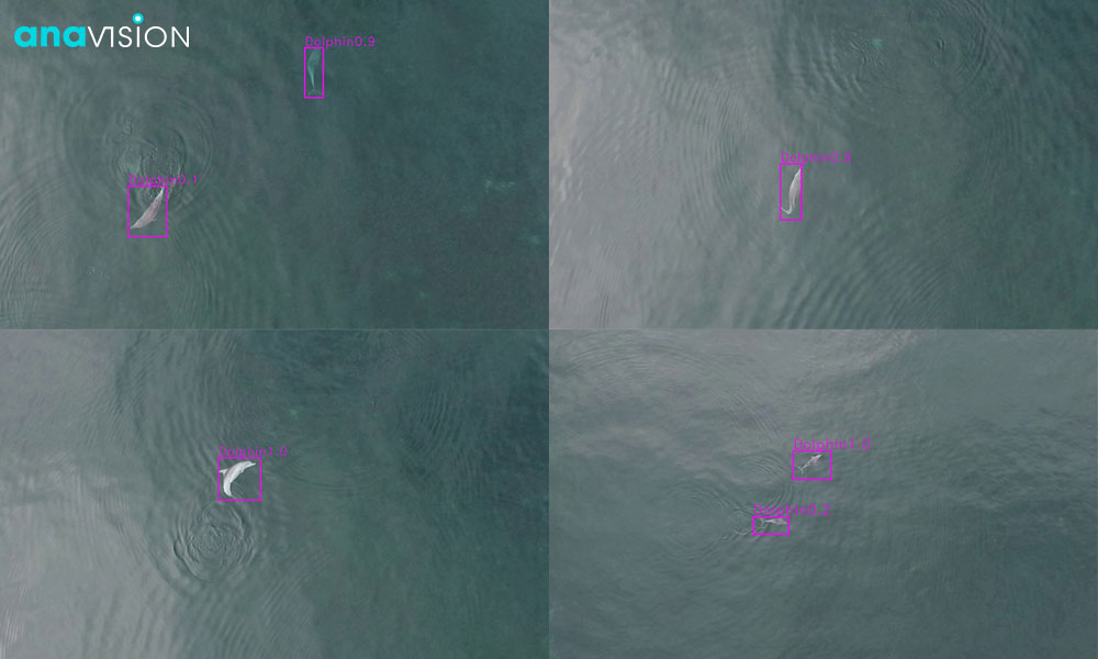
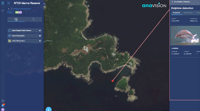
In addition, Anavision has also developed an efficient system with deep learning algorithms. Instead of manually processing a large quantity of drone data, the trained AI model with computer vision technologies automatically detects dolphins in drone-generated images, computerized data will be visualized on a user-friendly interface platform for image storage and further analysis, such as mammal parameter measurements and habitat mapping.
Anavision believes that our solution could lead to a promising future in the conservation of wild marine mammals like dolphins and whales. We are happy to contribute to the UN SDG 14 Life Below Water by developing research capacity and sustainably managing marine and coastal ecosystems to avoid significant adverse impacts.
Want to Learn More?
Check out our Drone Solutions For Marine Parks And Marine Reserves today.

