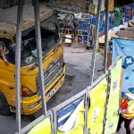
When a road accident occurs, it’s in everyone’s best interest to clear the area as soon as possible. However, the scene must be documented by police first and it is very time-consuming to complete the following:
- Collect evident using camera at the accident spot
- On-site drawings for body and object before removal
- Site investigation and measurement
As a result, cars get stuck in the traffic during police investigations and issue settlement.
Transforming Accident Investigation with Drones
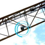
Unmanned Aerial Vehicles (UAVs) have introduced new ways to address a variety of problems, one of the areas is safety and security. Applying drones to fly over an accident location quickly and capture all the details are being recognized, allowing the accident location to be cleared more quickly for road reopens.
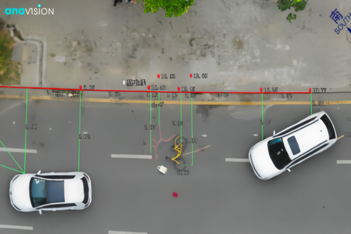
Anavision’s drone-based traffic accident record system is small and portable, police officers can easily capture images – the drone will capture images automatically with geolocation information after the area of interest is selected.
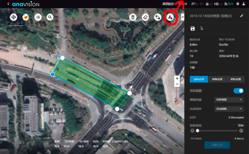
Once imagery is captured, the photo-geometry technique is used to transform all images into orthogonal images, and a high-resolution scenario map will be reconstructed in real-time. The on-site police officer can add accident details, mark up the scene with notes, measurements and annotations via tablet and for drivers to sign. In the meantime, the reconstructed scenario map with all details will be automatically uploaded to Police’s network for further measurement, inspection, and storage.
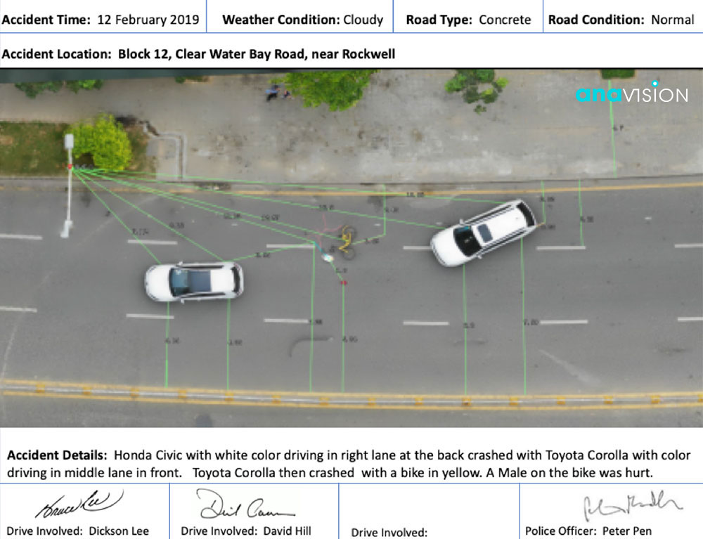
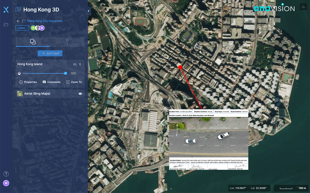
The entire solution can rapidly capture and reconstructive the accident scenery in real-time, increasing efficiency and optimizing the accuracy of evidence and information collected. Computerized details are stored in the accident case server, which reduces the workload for human involvement in the evidence collection, processing, and analysis, finally escalating the accident investigation progress.
Anavision aims and believe that one day a complete UAV workflow can be rolled out, transforming accident investigation from traditional methods, also optimizing the accuracy of evidence being collected.
Want to Learn More?
Check out our Innovative Technologies today.